|
| *****SWAAG_ID***** | 920 |
| Date Entered | 07/03/2016 |
| Updated on | 01/08/2016 |
| Recorded by | Tim Laurie |
| Category | Earthworks |
| Record Type | Archaeology |
| Site Access | Public Access Land |
| Record Date | 04/03/2016 |
| Location | Brownsey Moor Top above Brunt Hill |
| Civil Parish | Melbecks |
| Brit. National Grid | SD 977 993 |
| Altitude | 490m |
| Geology | Pennine Plateau. Richmond Cherts over The Main Limestone |
| Record Name | Isolated field boundary at 490m elevation on Brownsey Moor Top above Brunts Hill |
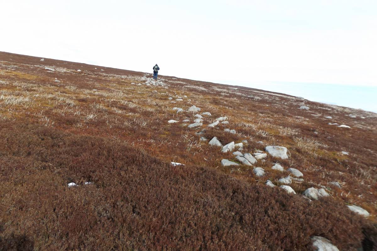
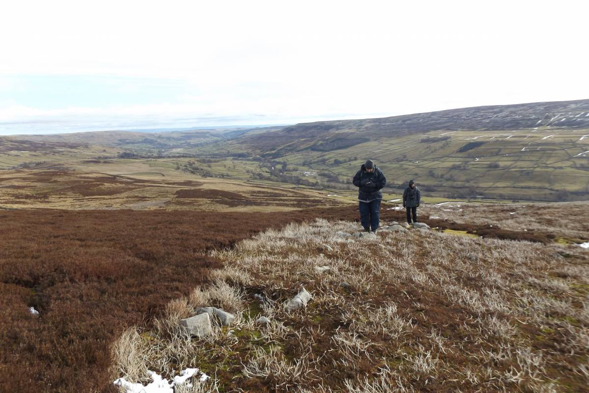
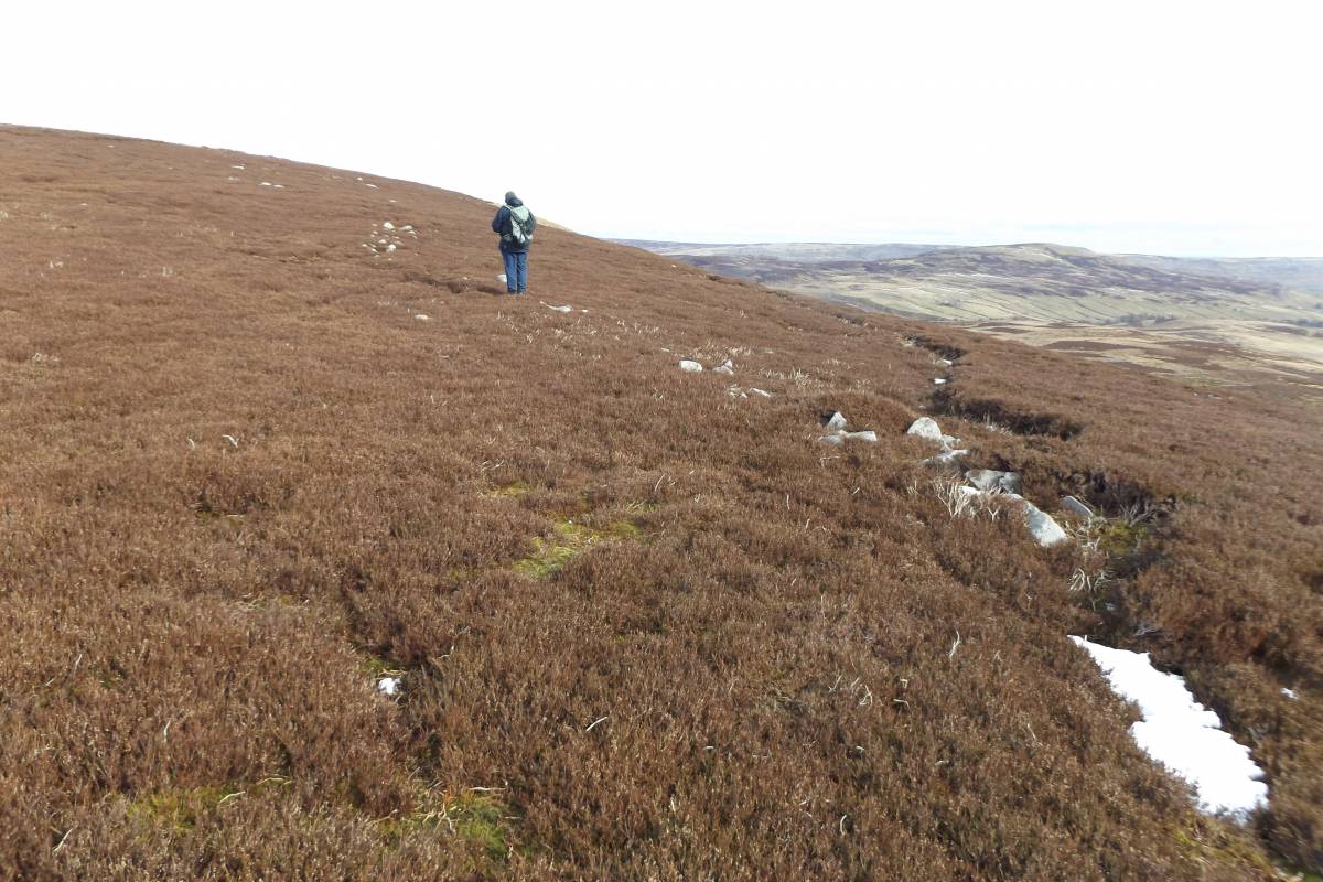
| Record Description | Isolated boundary bank on Brownsey Moor Edge at 490m elevation. This substantial boundary bank of stone dump construction is identical in appearance to the prehistoric Iron Age coaxial field boundaries recorded on Reeth Low Moor, Marrick Moor , Skelton Moor, Grinton Moor and on Harkerside Moor during the Swaledale Ancient Land Boundaries Project (Fleming and Laurie 1985-1994). However this boundary is of different design and purpose and may well be of a very different date. The uppermost length of boundary bank only is recorded here where it rises from the steep scarp edge immediately above Staney Gill Hole to cross Brownsey Moor End and then descend down over Brunt Hill to cross the moorland below down to Featham Pasture. |
| Dimensions | See photographs |
| Additional Notes | This record is a preliminary photographic note of this interesting boundary which is currently being recorded within a reconnaissance of the Historic Landscapes on Melbecks Moor. |
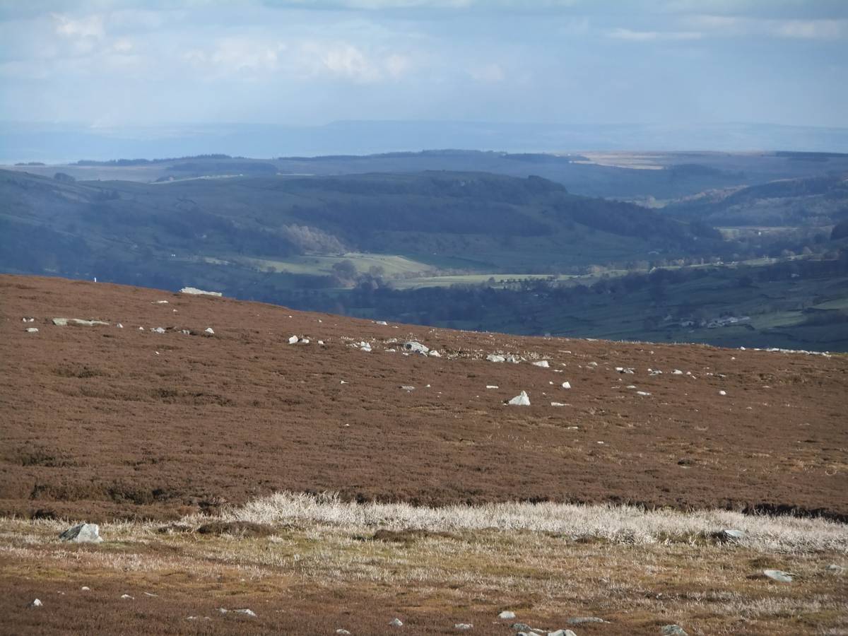
| Image 1 ID | 6708 Click image to enlarge |
| Image 1 Description | Telephoto of the boundary from Brownsey Moor with view down through Swaledale | 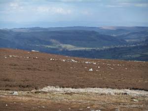 |
| Image 2 ID | 6709 Click image to enlarge |
| Image 2 Description | | 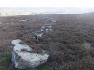 |
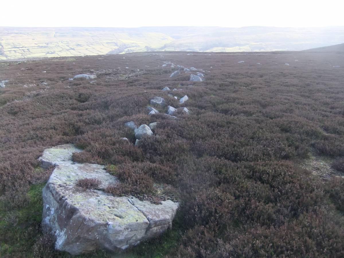
| Image 3 ID | 6710 Click image to enlarge |
| Image 3 Description | The boundary sis well seen where exposed by recent heather burning. | 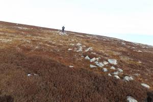 |
| Image 4 ID | 6711 Click image to enlarge |
| Image 4 Description | |  |
| Image 5 ID | 6712 Click image to enlarge |
| Image 5 Description | | 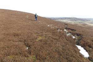 |